
The second main factor is how dry it has been in July. Many areas have had only a fraction of normal rainfall for July. Little Rock experienced its 3rd driest July on record with only .24" for the Month. This has led to drought conditions across most of the State

The dry ground heats up faster than ground that has more moisture, allowing for hotter afternoon temperatures.
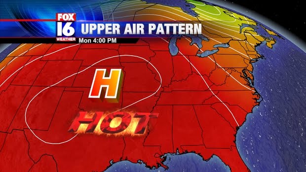
Although temperatures will be over 100 today and tomorrow, highs should fall short of the records. By Wednesday, however, record highs will be threatened across much of the State.

Interestingly enough, the records for Tuesday and Wednesday were established from last year's heat wave, in which temperatures topped out at a blistering 107. Not much in the way of relief is in sight through the end of the week, although the upper high will slide a bit further to the West, allowing temperatures to come down at least slightly.
No comments:
Post a Comment