(Current Watches and Warnings-updates every 5 minutes)
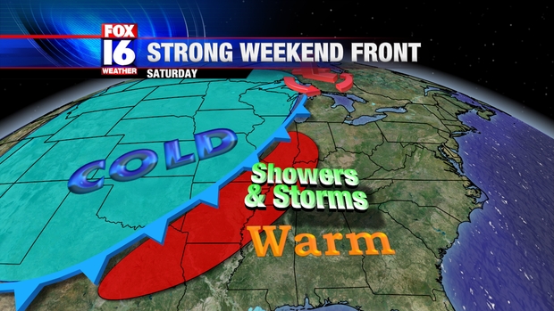
A strong cold front will push into the State Saturday, bringing and end to our unusually mild weather across Arkansas. Showers and thunderstorms will develop along and ahead of a cold front advancing into Arkansas Saturday.
The storms will produce some locally heavy rainfall as the front slows down as it moves through Arkansas. A flash flood watch is in effect for Central Arkansas through tonight. Rainfall amounts will be heavy in some spots with 2 to 3 inches of rain likely. Computer projected rainfall amounts show heaviest rain across Central and Eastern Arkansas through 6 AM Sunday morning.
A few storms may also be strong to severe, with warm & moist Gulf air ahead of the front. Strong, gusty winds will be the primary severe threat. the Storm Prediction Center has placed parts of Central Arkansas under a SLIGHT risk for Saturday, especially during the afternoon and evening hours.
The front will move through Saturday night with colder air filtering in Sunday. Temperatures will drop to near 40 by Sunday morning, with little change during the day. The forecast map for Sunday morning shows Arkansas on the cold side of the boundary with some lingering rain for Southeast Arkansas.


No comments:
Post a Comment